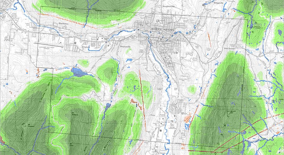
With mapping now completed for all 351 towns and cities in Massachusetts, the Conservation Assessment and Prioritization System (CAPS) is equipped to help citizens and agencies throughout the state make smarter and more sustainable environmental choices.
“It’s the beginning of how we can start to think about ecological restoration in novel ways that might actually be more cost effective and actually get us more environmental benefits than the more traditional approaches we’ve had up until now,” says Extension Associate Professor Scott Jackson, who co-created the program along with Kevin McGarigal of the UMass Amherst Department of Environmental Conservation.
Under their leadership, the CAPS team has now collected data on every parcel of land in the state, identifying the quality and character of the land itself as well as how different parcels are affected by such variables as the intensity of traffic on nearby roads or vulnerability to invasion by exotic plants. Based on this information, CAPS uses metrics to assess each parcel’s ecological integrity and biodiversity value. The results are being used to determine where to direct conservation resources for maximum benefit and to help planners make decisions that minimize negative environmental impact. Clients include the Nature Conservancy, the Massachusetts Department of Environmental Protection, and a number of town planning committees.
With its successful completion, CAPS is receiving increasing recognition: pilot versions are currently being initiated in Maine and Maryland, and Jackson estimates that the entire North Atlantic region will be mapped by CAPS within three years. In addition, the team is currently engineering the program to calculate and help communities prepare for the future effects of climate change.
The program’s accomplishment comes not a moment too soon—according to Andy Finton, director of conservation at the Nature Conservancy’s Massachusetts chapter, “We’ve been using their data as soon as it comes out of the oven.”
