Land Conservation Tools
Tool Comparison Summaries
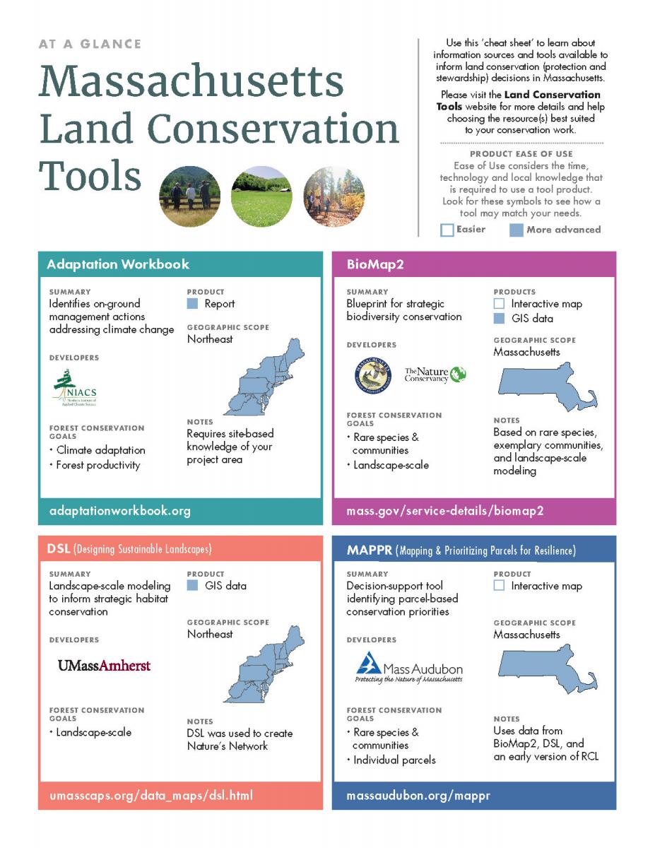
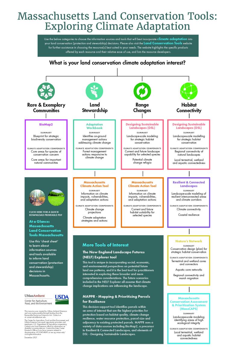
This portal website compiles land conservation information resources, mapping products, and other tools, developed by a variety of organizations, that are available to guide the decision making of Massachusetts practitioners. We have summarized these tools, organized them in different ways to help you more easily choose the one(s) best suited to your conservation needs, and provided website links for direct access.
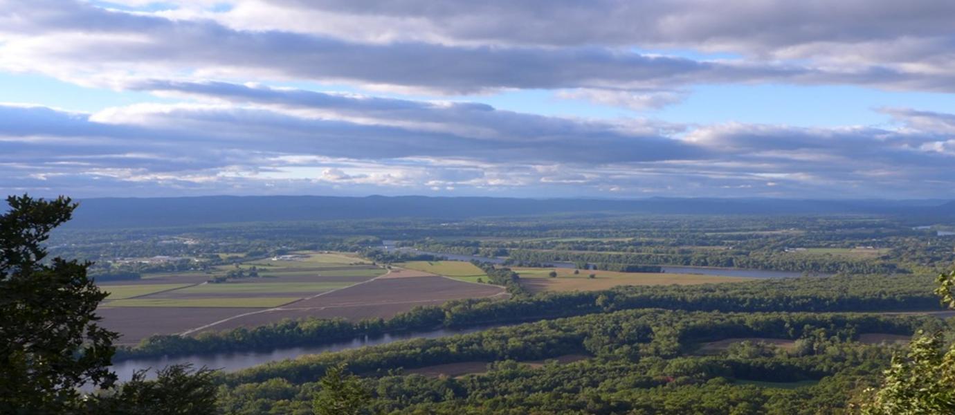
A variety of interests that can inspire and inform land conservation, and the tools included on this website tend to have a wildlife and habitat conservation perspective, rather than being focused on other important land conservation issues such as water supply or recreation.
The resources can be filtered by:
(1) Conservation Tasks:
Some tools are more suited to supporting certain conservation purposes, such as applying for or awarding grants, land stewardship, land (open space) protection, assessing landscape connectivity and public outreach.
(2) Conservation Phases:
Some tools are better suited to certain stages of the conservation process:
-
Motivation: Increasing awareness of conservation needs and inspiring people to engage in conservation planning and action.
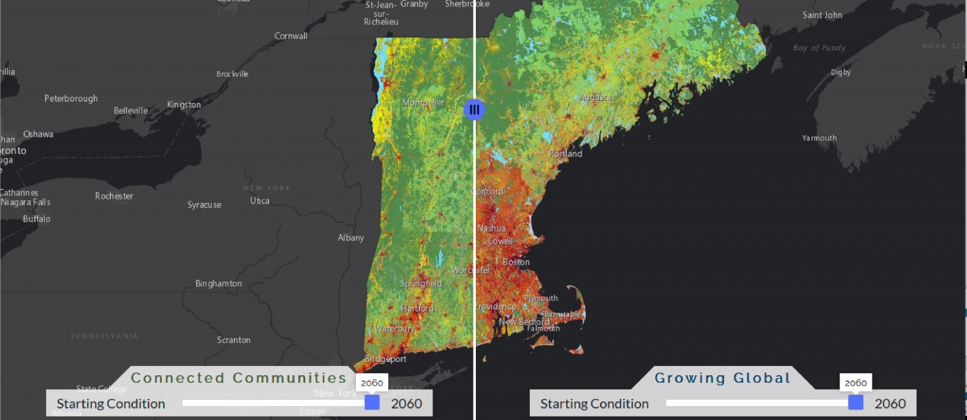
For example, using NELF Explorer to see how different patterns of land development and land conservation could affect the New England landscape. -
Assessment: Using conservation data to better understand the landscape and create a blueprint for action.
For example, using data from MassCAPS to inform the development of your own land conservation plan. -
Plan: Adopting a conservation blueprint to guide action.
For example, adopting BioMap2, that uses data from MassCAPS and other sources, to guide your land conservation efforts. -
Action: Implementing actions such as habitat management or land protection.
For example, using MAPPR, that uses data from BioMap2, to identify specific parcels for strategic land conservation.
Awareness and inspiration leading to a Plan and Action
Analysis and data generation to inform a Plan
Selecting a blueprint to guide Action
Specific implementation measures
This website is an output from a University of Massachusetts Amherst Extension project studying how these tools are used by those engaged in land protection and stewardship, with a particular focus on forest conservation with a climate adaptation lens. We hope that our work increases and improves the use of these tools through building practitioner awareness and understanding, influencing tool outreach efforts, and informing future versions of the tools - with the ultimate aim of improving the future of Massachusetts ecosystems. To learn more about our research project, please visit the Research section of this website.
To learn more about terminology used in this website, see the Glossary.
Please provide feedback that will help refine this website by emailing Scott Jackson, University of Massachusetts Extension, conservation@umass.edu(link sends e-mail)
Explore the Tools
The below dropdown filters can help you explore and identify the land conservation tools most appropriate for different conservation tasks and phases: