University of Massachusetts Amherst, MassWildlife, Northeast Climate Adaptation Science Center
Provides access to information on climate change impacts and vulnerability of species and habitats, as well as adaptation strategies and actions to help maintain healthy, resilient natural communities, with a focus on Massachusetts.
- Web-based graphics and text
- Online map viewers
- Links to other tools and sources of information
Readily usable with minimal time, knowledge or technical requirements.
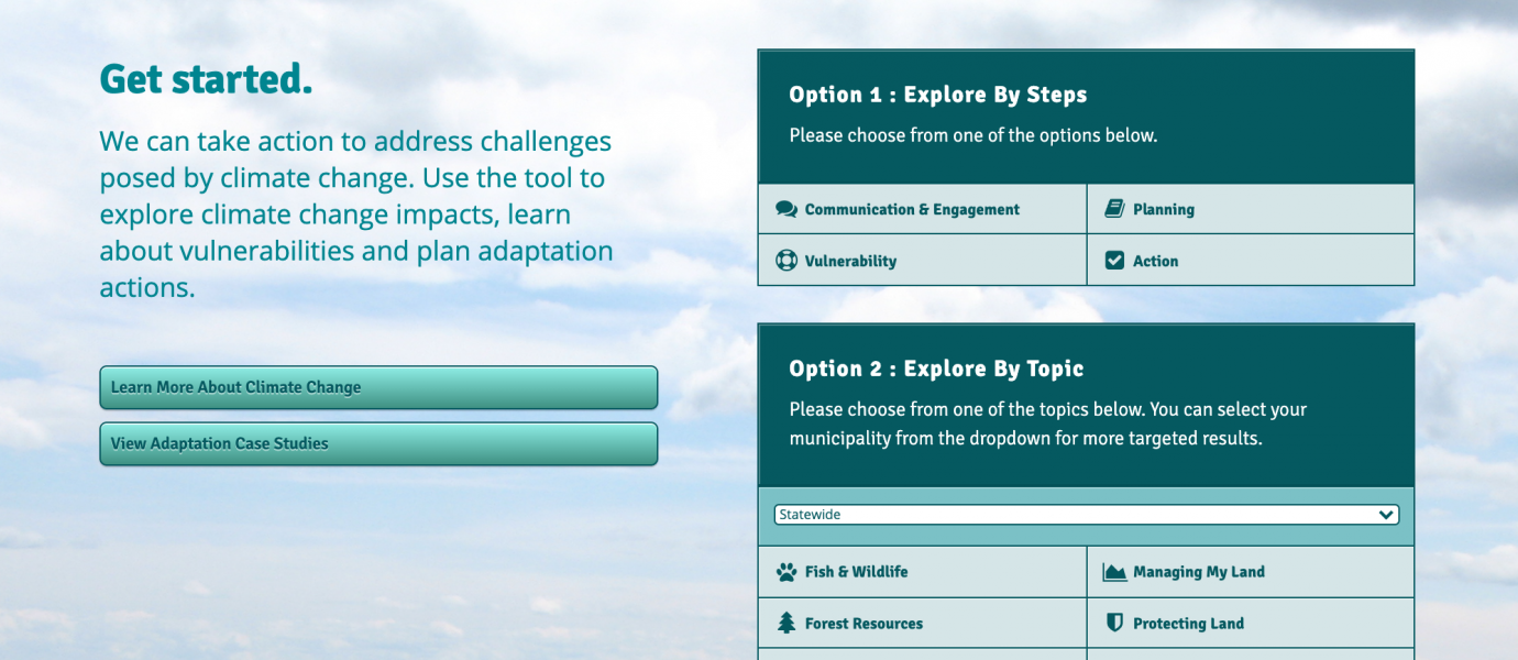
The purpose of the Massachusetts Climate Action Tool (CAT) is to present research-based information about climate change impacts and the vulnerabilities of various fish, wildlife and habitat, and promote adaptation actions that can be taken at a local level. This information is paired with a map viewer to access online GIS data that was selected or synthesized to understand and respond to conservation challenges posed by climate change. The tool contains approximately 200 GIS layers as well as a wealth of information on climate-related stressors affecting Massachusetts, vulnerability assessments for over 60 species or groups of species, and a substantial list of adaptation actions ranging from forest management and land preservation to culvert replacement and dam removal.
The CAT was designed for users with limited mapping capacity, and features maps that incorporate BioMap2 and the CAPS (Conservation Assessment & Prioritization System) Index of Ecological Integrity (IEI), DSL (Designing Sustainable Landscapes) Conductance, as well as other spatial data. Species profiles include spatial data showing the current geographic distribution or habitat suitability for the species and, in many cases, projections for the future habitat suitability accounting for climate change. Spatial data can be explored using a web browser, but cannot be uploaded to or downloaded from the spatial data viewer, which includes links to data sources and additional information.
Learn more about the terms used in this tool profile from the Glossary.